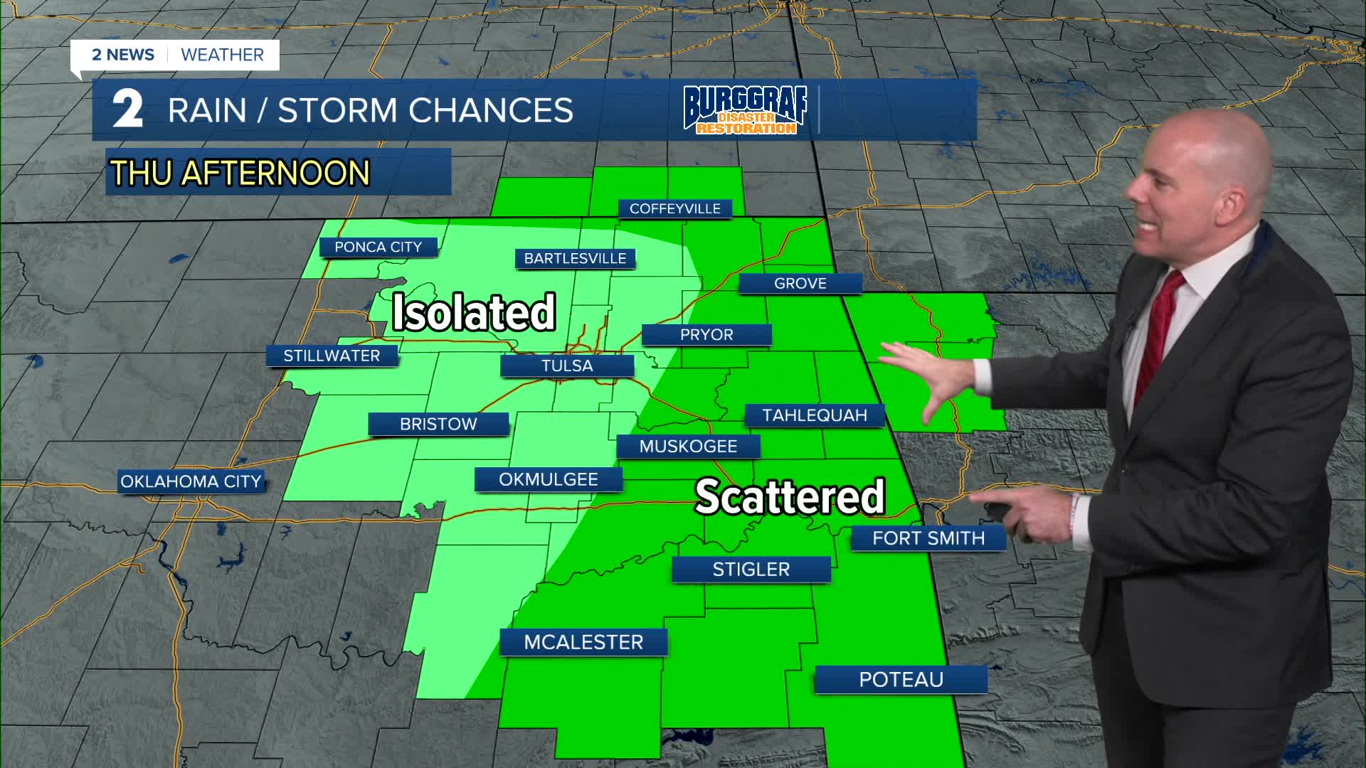


TULSA, Okla. — A few isolated storms will remain Thursday morning, especially near the Oklahoma and Kansas line. Morning lows will drop into the mid/upper 60s.
Mix of sun and cloud with highs in the upper 80s to low 90s. As a weak cold front moves in, we'll likely see scattered storms develop through the afternoon and evening. Widespread severe weather is not expected, but a few strong to severe storms will still be possible with a wind and hail threat.
Scattered storms will remain possible with highest chances along and south of I-40 into Friday morning. We should dry out by Friday afternoon with highs in the mid 80s. The weather looks to cooperate for Friday night football games!
Looking at the last weekend of summer, highs in the mid to upper 80s with partly cloudy skies. Isolated rain chances Saturday and more scattered on Sunday with some showers and t-storms.
The first day of Fall is on Monday and we look to remain unsettled through the first half of next week. Chances of showers and storms will remain with lows in the 60s and highs in the 80s.
Stay in touch with us anytime, anywhere --
- Download our free app for Apple, Android and Kindle devices.
- Sign up for daily newsletters emailed to you
- Like us on Facebook
- Follow us on Instagram
- Watch LIVE 24/7 on YouTube
