

TULSA, Okla. — The Northern Lights may be visible overnight into early Tuesday morning! Bundle up if you go out with a low around 20° to start Tuesday. Despite the cold morning, we'll enjoy a nice recovery. The sun returns tomorrow with highs around 50°. SSW winds 10-20 mph.
Lows just above freezing Wednesday morning. Chance for maybe a few rain showers across SE Oklahoma early in the morning as a front sweeps though. Otherwise lots of sunshine with highs in the low 50s again.
A front moves through with colder temps in the upper 20s Thursday morning. A lot of clouds with maybe a touch of sunshine with highs in the upper 40s.
We are watching for the potential of a winter storm Friday into Saturday with some ice and mostly snow. A wintry mix may develop initially Friday, but as temperatures fall through the day, we should transition to all snow. Some accumulation looks likely with possible travel impacts.
At the moment there is more uncertainty with the track of Saturday's system. Some data keeps the system south of us with cloudy and cold conditions; However, other data keeps accumulating snow over us. We will be fine tuning this as we get closer.
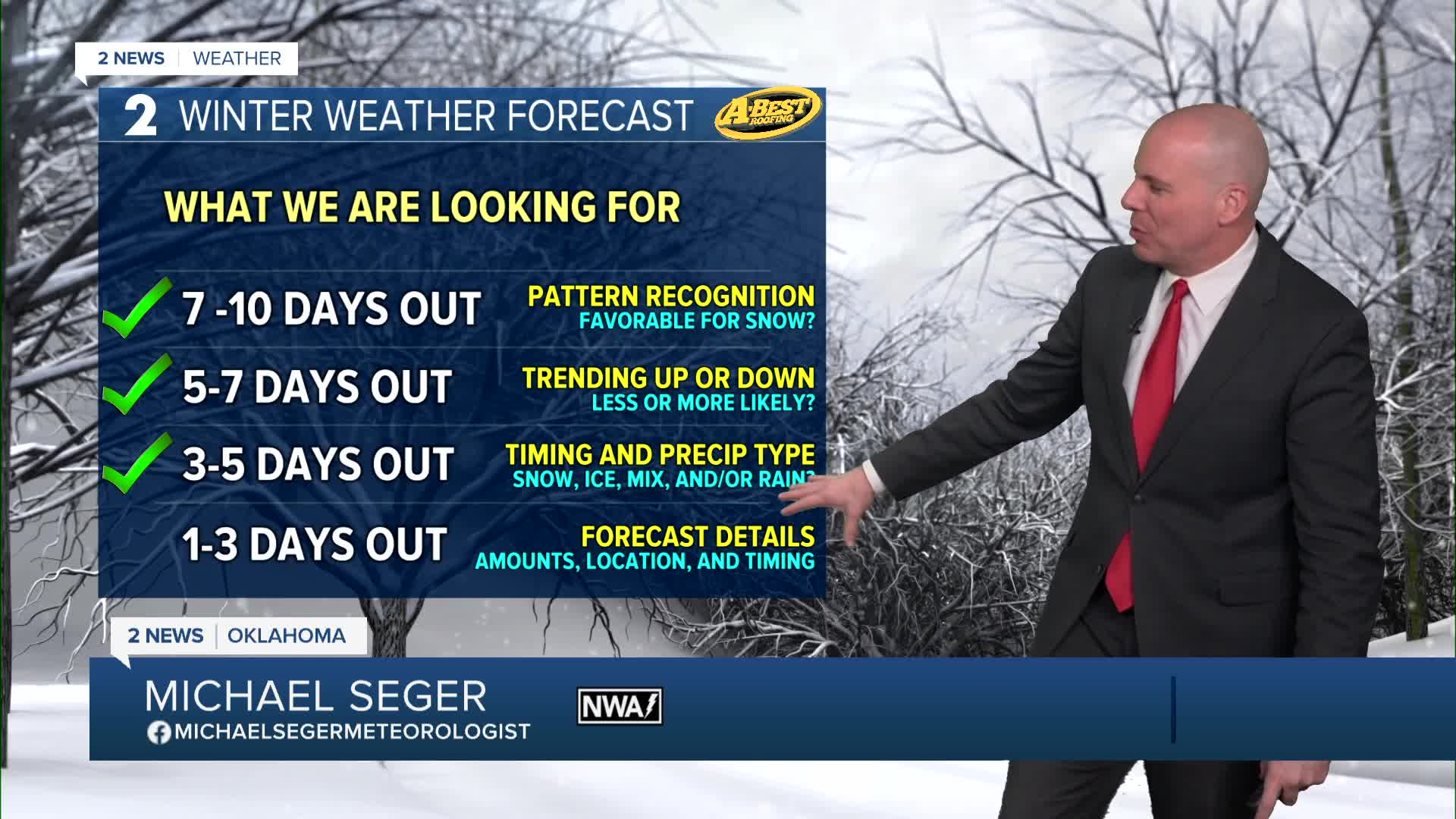
As of now, prepare for travel impacts and accumulating snow late week and into the weekend, but understand the details of how much snow we may see and the exact track are still uncertain.
Confidence is high we will be cold! Highs look to be below freezing for at least a couple of days with lows in the single digits and wind chills around 0° and below through the whole weekend.
Stay tuned to our latest forecasts as new data comes in. This system could have a big impact on Oklahoma and neighboring states if the forecast verifies.
Stay in touch with us anytime, anywhere --
- Download our free app for Apple, Android and Kindle devices.
- Sign up for daily newsletters emailed to you
- Like us on Facebook
- Follow us on Instagram
- Watch LIVE 24/7 on YouTube
