

TULSA, Okla. — Coats to start with morning temps in the mid/upper 30s to near 40°, but we'll warm up quick! Wednesday's daytime highs should reach the upper 60s to near 70°. Partly to mostly cloudy skies with south winds at 10-20 mph.
An increasing chance for well-needed rain and t-storms late Wednesday night/overnight/into Thursday morning. Rainfall amounts of around a 1/2" to an inch look likely along and north of I-44 with locally higher amounts possible. Lower amounts likely the farther south you go of I-44. A marginal wind and hail threat will exist with the storms early Thursday morning as well.
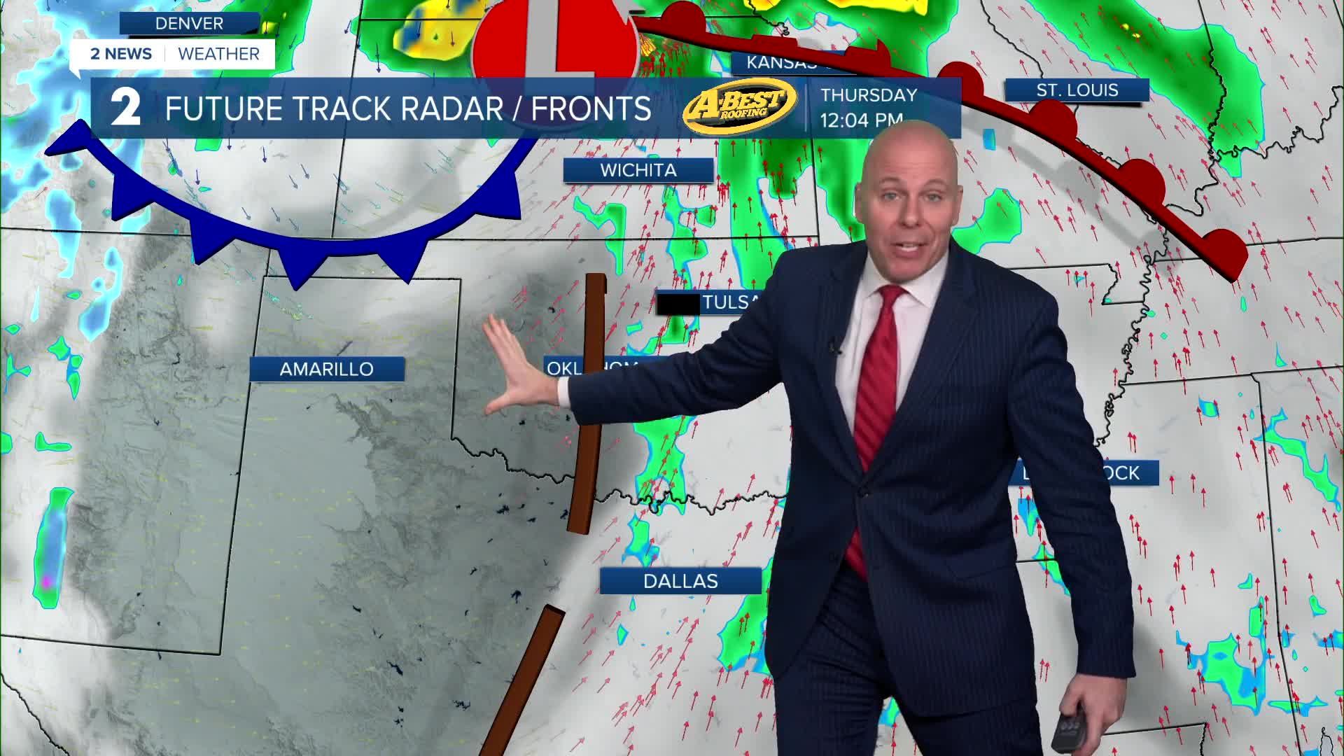
Latest data is trending slower with the storm system Thursday and that could open a door for a round of strong to severe storms late Thursday morning through Thursday afternoon across eastern Oklahoma and southeast Kansas. Right now, uncertainty remains, but these storms may have a slightly higher severe threat if conditions do come together. We'll dry out in the afternoon with highs well into the 60s and perhaps 70°.
Some data hints a few showers or an area of light rain may be possible late Friday into Friday night, but the exact track of this remains uncertain. A band of snow will likely exist from northwest Oklahoma northeast into Kansas, but we should stay warm enough to keep it liquid here. We'll continue to adjust as we get closer. Friday will be cooler with highs in the low/mid 50s and northeast winds at 5-15 mph.
The weekend looks dry with cool to chilly temperatures! Low 50s on Saturday and mid 40s for highs on Sunday with lows across Green Country near and below freezing.
Stay in touch with us anytime, anywhere --
- Download our free app for Apple, Android and Kindle devices.
- Sign up for daily newsletters emailed to you
- Like us on Facebook
- Follow us on Instagram
- Watch LIVE 24/7 on YouTube
