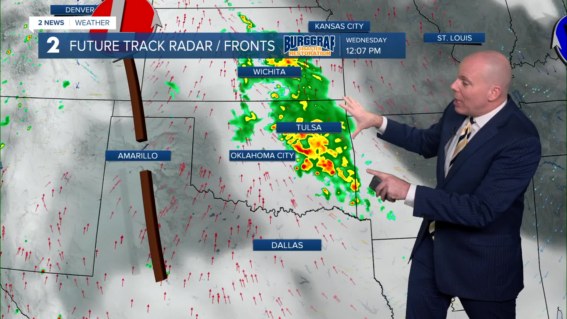


TULSA, Okla. — After a brief break in precipitation tonight, more unsettled weather returns Wednesday.
Scattered showers and storms move in Wednesday morning through Wednesday afternoon, moving out west to east through Wednesday evening. Another round develops overnight Wednesday night into Thursday morning, through Thursday afternoon, departing southeast Thursday evening/night. We'll keep a chance over possible redevelopment overnight Thursday into early Friday morning.
Highest rainfall totals will likely be across northeast parts of Green Country with widespread 1" to 3" totals and localized spots over 3". Where heavier totals occur, a flood threat will need to be monitored. For the rest of Green Country, including the metro, we will see rainfall totals in the 1/2" to 1 1/2" range.
Temperatures will remain below average this week with highs trending in the 70s for most locations for highs from Wednesday through Friday with overnight lows in the low to mid-60s.
Outdoor plans are a go for Labor Day holiday weekend! Sun and clouds and staying dry. Lows in the mid 60s and highs in the low 80s! Enjoy!
Stay in touch with us anytime, anywhere --
- Download our free app for Apple, Android and Kindle devices.
- Sign up for daily newsletters emailed to you
- Like us on Facebook
- Follow us on Instagram
- Watch LIVE 24/7 on YouTube
