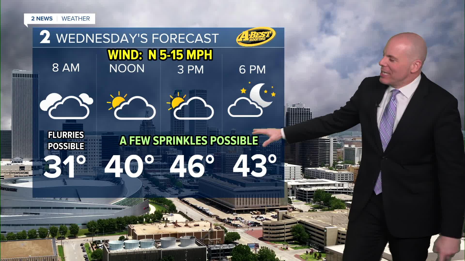


TULSA, OKLA. — Expect an increase in cloud coverage overnight into Wednesday with temperatures by daybreak reaching the upper 20s. A few flurries possible in the morning with a few sprinkles in the afternoon, but nothing to get excited over. A few rays of sunshine may break through the clouds with afternoon highs in the mid/upper 40s.
Conditions improve quickly heading into Thursday as surface high pressure shifts southeast of the region. Gusty southwesterly winds will develop, ushering in warmer air and a return to above-normal temperatures. Despite a chilly morning Thursday, we'll reach the low/mid 60s in the afternoon!
A weak front will move in on Friday. The timing of this from will determine how warm we get. It'll be mild to warm either way with highs in the 60s north and even a few 70s possible south!
This stretch of dry and mild weather is expected to continue through the weekend.
Looking ahead, low rain chances may return to the forecast early/mid next week. We'll likely adjust those chances over the next few days as confidence increases with how the pattern will evolve next week.
Stay in touch with us anytime, anywhere --
- Download our free app for Apple, Android and Kindle devices.
- Sign up for daily newsletters emailed to you
- Like us on Facebook
- Follow us on Instagram
- Watch LIVE 24/7 on YouTube
