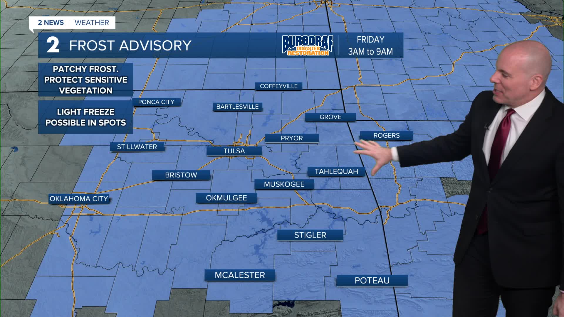


**FROST ADVISORY IN EFFECT FROM 3 AM TO 9 AM TOMORROW FOR ALL OF NE OKLAHOMA AND SE KANSAS**
Another chilly night is in the forecast, with the potential for frost or a light freeze in much of the area. Make sure to protect any sensitive vegetation tonight.
Thankfully a nice rebound is set for tomorrow afternoon with highs in the mid-60s. We'll fall into the mid to upper 50s for trick-or-treating tomorrow evening with increasing cloud coverage.
A frontal system may bring a slight chance of a few sprinkles of light showers overnight Friday into early Saturday morning, then we'll clear quickly behind it for the rest of the weekend.
Lows in the low/mid 40s on Saturday and back into the 30s Sunday morning. Look for highs both Saturday and Sunday near 60°.
A warming trend looks likely next week with afternoon highs returning to the 70s by midweek.
Stay in touch with us anytime, anywhere --
- Download our free app for Apple, Android and Kindle devices.
- Sign up for daily newsletters emailed to you
- Like us on Facebook
- Follow us on Instagram
- Watch LIVE 24/7 on YouTube
