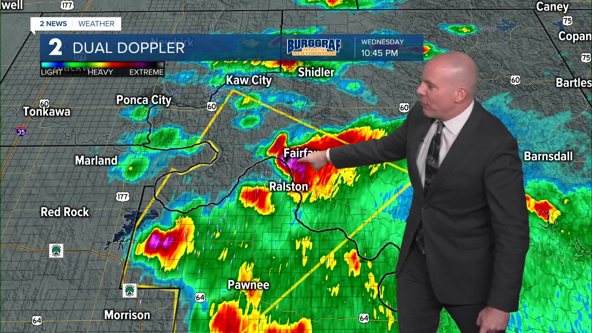


TULSA, Okla. — Overnight expect an increasing chance for scattered showers and t-storms. Some could be strong to severe with mainly a hail threat. Lows in the low 60s.
Showers and thunderstorms on Thursday lasting all the way through Thursday night. Highs topping out in the upper 60s. Some storms could be strong to severe with mainly a wind and hail threat. However, across southeast Oklahoma (SE of I-44), the Storm Prediction Center has highlighted a 2% risk for a tornado chance. We'll be monitoring this carefully.
The whole system will clear the area overnight Thursday into very early Friday morning. When all is said and done, a widespread 1/2" to 2" of rain will be likely in the region. Localized higher amounts will be possible with a localized flood threat. The daylight hours of Friday should be pretty dry. Lows in the upper 50s with highs in the upper 60s to low 70s as some clearing works in and SW winds increase.
Over the weekend, partly cloudy skies with lows mid to upper 40s and highs in the upper 50s to low 60s. Clouds could be slow to clear Saturday, and we should see some sun Sunday before clouds move back in with rain later Sunday night.
Rain will be around on Monday. Lows in the low 50s with highs in the low/mid 60s.
Slight chance for a shower early on Tuesday, otherwise mostly cloudy skies. Morning temps in the upper 40s with highs in the low/mid 60s.
A cold front may arrive by Wednesday of next week cooling temperatures down at the end of next week, including Thanksgiving. Our current forecast has highs in the mid/upper 40s, but expect some adjustments as we get closer.
Stay in touch with us anytime, anywhere --
- Download our free app for Apple, Android and Kindle devices.
- Sign up for daily newsletters emailed to you
- Like us on Facebook
- Follow us on Instagram
- Watch LIVE 24/7 on YouTube
